terratec Geophysical Services GmbH & Co. KG
Booth number: 6108N-6
www.terratec-geoservices.com
About us
terratec geophysical services offers surface geophysical and borehole logging services internationally with focus on Europe and Africa. Additionally, we offer airborne surveys in Europe and Africa. This includes acquisition, processing and interpretation of geophysical data sets.
terratec geophysical services executes these services for mineral exploration, groundwater/geothermal energy and geotechnical purposes.
The company was founded in 1989 and consists of 35 geophysicists and geologists who are fluent in a great variety of languages with offices in Germany, Namibia, Bulgaria as well as logistic bases in Austria, Sweden and Finland.
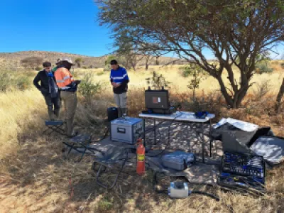
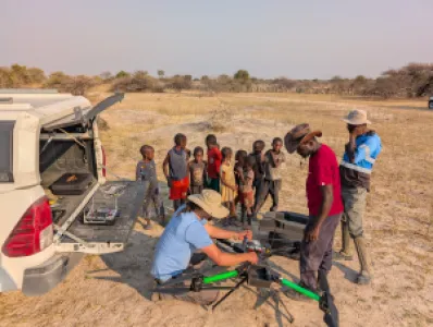
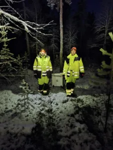
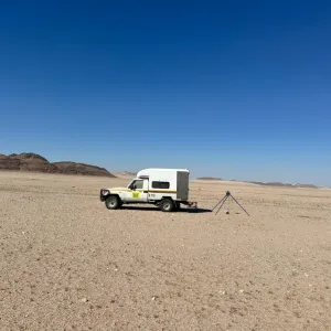
terratec has comprehensive working experience in different countries and climates from Greenland to South Africa. Staff and geophysical systems have been optimized and adapted to harsh conditions in remote areas.
Address
Schillerstr. 3
79423 Heitersheim
Germany
E-mail: info@terratec-geoservices.com
Phone: +49 7634 503190
Internet: www.terratec-geoservices.com
Contact person:
Klaus Brauch
Managing Director
E-mail: brauch@terratec-geoservices.com
Phone: +49 7634 503190
Aron Barry
Sales airborne geopyhsics
E-mail: barry@terratec-geoservices.com
Phone: +49 160 98384298
Dr. Claudia Pohl
Borehole logging
E-mail: pohl@terratec-geoservices.com
Phone: +49 7634 503190
Thomas Eckardt
Ground geophysics
E-mail: eckardt@terratec-geoservices.com
Phone: +49 7634 503190
Products & Services
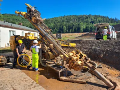
Borehole geophysical measurements (max. depth 2000 m):
Structural measurements:
Optical and acoustical scanners
Physical Properties
Spectral gamma (U, Th, K)
Magnetic susceptibility
Resistivity and chargeability
Electric conductivity, P and S wave velocity
Borehole geometry:Deviation surveys (magnetic and gyroscopic)
Caliper
Casing thickness
Cement bond log
Hydrogeology:Water inflow zones
Water sampling
Fluid temperature
Water conductivity
Others:Total magnetic field (Hx, Hy, Hz)
BHEM (borehole EM)
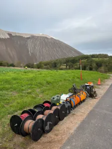
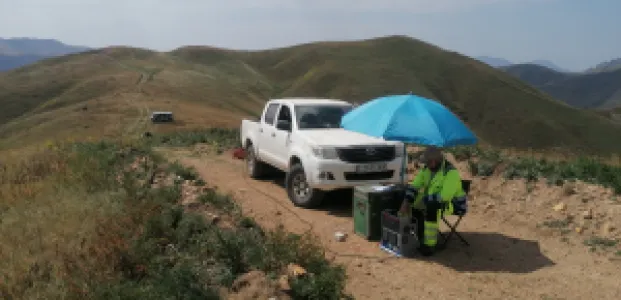
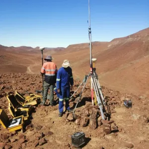
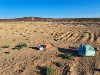
Surface Geophysics:
ERT, Induced Polarization, Deep IP, HIRIP 0 - 800m
CSAMT, NSAMT, MT
G2D semi-airborne CSAMT up to 900 m depth
Magnetics
Electromagnetics (FDEM, TDEM)
Gravity
Radiometrics
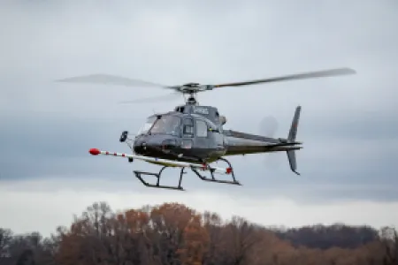
Airborne Geophysics:Drone magnetics and radiometrics
Helicopter magnetics and radiometrics
Semi-airborne EM (drone and helicopter)
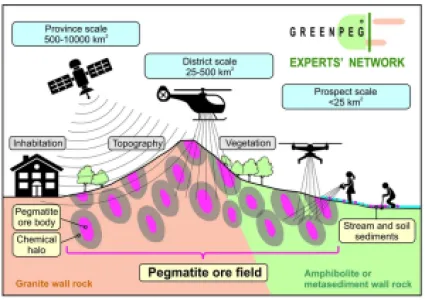
GREENPEG Experts' Network for pegmatite exploration
Terratec is a partner in the GREENPEG Experts' Network for pegmatite exploration. The group of industry partners, scientists and geological surveys offer guidance, dektop and field services for pegmatite exploration gained in the European HORIZON 2020 GREENPEG project which ended 2024. Geophysical and geochemical methods for the exploration of small-scale Nb-Y-F (NYF) and Li-Cs-Ta (LCT) pegmatite deposits were adjusted and developed at three "brown field" demonstration sites in Europe: Leinster (Ireland), Tysfjord (Norway) and Wolfsberg (Austria).
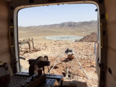
terratec is part of the SeeKaquA project - Semi-Airborne Electromagnetic Exploration of Kalahari's Aquifers, Africa
Arid regions in Southern Africa experience severe challenges to supply clean water in times of continuously growing water demands and climate change. The SeeKaquA project aims at exploring two deep aquifer systems in Namibia and Zambia with the semi-airborne electromagnetic methods (SAEM) to consider these water resources as alternatives to surface water resources for sustainable water management. Within the project, terratec has acquired a modern SAEM-System and performs SAEM- and TEM measurements with the project partners.